This post will focus on the maps and charts that John Carmichael (1803, Edinburgh Scotland -1857, Sydney Australia) had created between 1825 and 1856.
- “Chart of the Zodiac [cartographic material]: including the stars to the 4th magnitude between the parallels of 24 degree 1/2 declination north & south. T.L. Mitchell & J. Carmichael – 1831.http://nla.gov.au/nla.map-rm3892-e-cd

- “Map of the Colony of New South Wales – To the Right Honorable Edward G S Stanley. T.L. Mitchell & J. Carmichael.” Showing nineteen counties from Crowdy Bay to Moruya, and from Wellington Valley to the sea. It also shows the names of counties, settlements, houses, huts, roads, tracks, trig. Stations, rivers and creeks, plains, and lakes, including the ‘route of Major Mitchell to the interior in 1831’.http://nla.gov.au/nla.map-nk6228
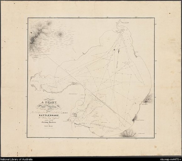
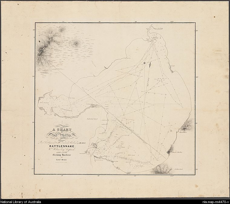
- “A chart of Port Philip, as surveyed by Lieut Thos. Symonds & Mr. Frederick Shortland, of H.M.S. Rattlesnake, Wm. Hobson Esqr. Captain and engraved by J. Carmichael, Sydney. 1836.http://nla.gov.au/nla.map-rm4470
- “Map of the town of Sydney – 1837″ For Tegg’s ‘New South Wales Pocket Almanac and Remembrancer for 1837’. This map included streets of Sydney, locations with public buildings, and other houses. Streets with names, buildings – some with names, military establishments, park and burial grounds. “Circular Quay” shown as a semi circle. Area from Burial Grounds to Dawes Point, and from Millers Point to Farm Cove.http://nla.gov.au/nla.map-nk3287


Sources:
- National Library of Australia
- State Library of NSW
